Bridgeport
Spots
Virginia Lakes
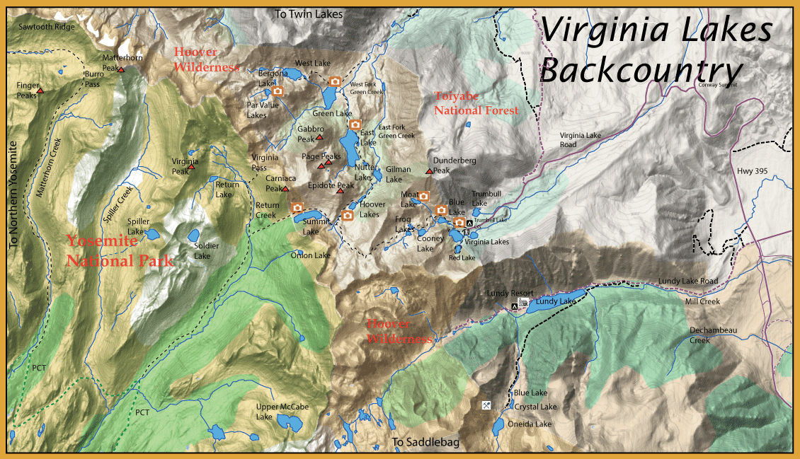
Virginia Lakes Map Virginia Lakes Area Map Trumbull Lake Location: Trumbull Lake Location
Accessible from parking lot
Great to fish in October
Initial inlet fishes well and on the large boulders near the reeds
9,700'
Big Virginia Lake Location: Big Virginia Lake Location
Accessible from parking lot
Entire north shore is accessible
At 9,800′
Little Virginia Lake Location: Little Virginia Lake Location
Accessible from parking lot
A small resort with store is at Little Virginia.
At 9,800'
Red Lake Location: Red Lake Location
Trailhead:
AllTrails: Red Lake AllTrails Map
1.5 miles from Little Virginia at 9,400′
Blue Lake Location: Blue Lake Location
Trailhead: Virginia Lakes Trailhead
AllTrails: Blue Lake AllTrails Map
0.5 miles past trailhead 9,886'
The inlet end of the lake fishes well
Blue Lake is very productive
Moat Lake Location: Moat Lake Location
Trailhead: Virginia Lakes Trailhead
AllTrails: Moat Lake AllTrails Map
The trail branches off to Moat Lake ( 8 acres) which is a strenuous hike up to 10,575′ and about 1.5 hours of hiking from the trailhead
Has Goldens
Cooney Lake Location: Cooney Lake Location
Trailhead: Virginia Lakes Trailhead
AllTrails: Cooney Lake AllTrails Map
1 hour hike from trailhead at 10,100'
Frog Lakes Location: Frog Lakes Location
Trailhead: Virginia Lakes Trailhead
AllTrails: Frog Lakes AllTrails Map
Right next to Cooney Lake at 10,100'
Summit Lake Location: Summit Lake Location
Trailhead: Virginia Lakes Trailhead
AllTrails: Summit Lake AllTrails Map
4 miles from the trailhead at 10,240′
Summit Lake is unique in that there are two outlet streams that go to each side of the Sierra Crest
Green Lake Location: Green Lake Location
Trailhead: Green Lake Trailhead
AllTrails: Green Lake AllTrails Map
Not exact map
-Lies between East and West Lakes at 9,000'
West Lake Location: West Lake Location
Trailhead: West Lake Trailhead
AllTrails: West Lake AllTrails Map
Additional 600′ gain at 9,600'
East Lake Location: East Lake Location
Trailhead: Green Lake Trailhead
AllTrails: East Lake AllTrails Map
Additional 600′ gain at 9,600'
Popular area to set up a base camp to explore the area
Nutter Lake Location: Nutter Lake Location
Trailhead: Green Lake Trailhead
AllTrails: Nutter Lake AllTrails Map
Between Gilman and East Lake
Can have bigger fish than nearby lakes
Par Value Lakes Location: Par Value Lakes Location
Trailhead: Green Lake Trailhead
AllTrails: Par Value Lakes AllTrails Map
Upper Par Value Lake is being managed as a “Fishless Lake” by DFG
1.5 hours hiking from Green Lake at 10,300′
Gilman Lake Location: Gilman Lake Location
Trailhead: Green Lake Trailhead
AllTrails: Gilman Lake AllTrails Map
Slightly farther on trail past East Lake
South of East Lake along the trail at 9,500'
Hoover Lakes Location: Hoover Lakes Location
Trailhead: Green Lake Trailhead
AllTrails: Hoover Lakes AllTrails Map
Not exact map, farther down the trail than East Lake and Gilman lake
9,800'
Lundy Lake Location: Lundy Lake Location
Accessible by car, located at 7,800'
The best areas to float tube are the shallower waters around the inlet and the launch area
The lake is known for strong winds during the afternoon, so morning is the best time to flyfish
Trail along the south side climbs to backcountry lakes like Oneida, Crystal, and Blue
Mill Creek Location: Mill Creek Location
A trailhead exists at the dam which takes you for about a 2 hour hike up a very steep, strenuous trail to some upper lakes in the Lake Canyon area
The following lakes are along the creek
Oneida Lake Location: Oneida Lake Location
Trailhead: Lundy Canyon Trailhead
AllTrails: Oneida Lake AllTrails Map
9,656'
Crystal Lake Location: Crystal Lake Location
Trailhead: Lundy Canyon Trailhead
AllTrails: Crystal Lake AllTrails
Blue Lake Location: Blue Lake Location
Trailhead: Lundy Canyon Trailhead
AllTrails: Blue Lake AllTrails
Virginia Creek TODO
On virginia lakes road or along 395
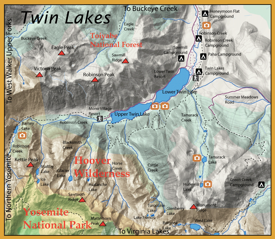
Twin Lakes
East Walker River
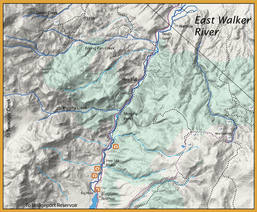
East Walker River Area Maps East Walker River Area Map Bridgeport Reservoir Dam Location: Bridgeport Reservoir Dam Location
East Fork Walker Location: East Fork Walker Location
Murphy Creek Location: Murphy Creek Location
Devils Gate Location: Devils Gate Location
East Walker River Tips Bottom of dam outlet where river crosses 182 is the Miracle Mile
Use wading staff
The most effective technique here is to quickly stack mend your line after your first initial cast to allow your weighted flies to drop down into the zone quickly. I wouldn’t fish a rod any lighter than this on the EW. 3X to 5X tippet depending on time of year and water clarity. If you’re going to high stick this section, an 11-foot, 5-weight switch rod will do the trick.
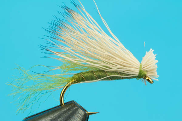
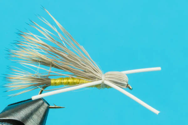
If I could take only four dries to the East Walker, they’d be an Elk Hair Caddis, EC Caddis, PMD, and Callibaetis Cripple. All in the 16/18 size range.
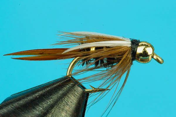
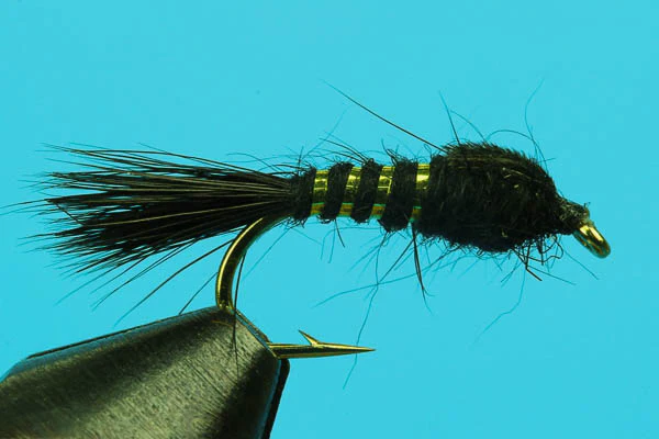
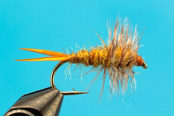
I’ve done some damage here with Rubber Legs. It’s great pocket water. I might fish a Prince Nymph under a Rubber Legs under enough shot to get it all down. High stick heaven.
Rosaschi Ranch is public access fishing located off the highway. To get there, head into Nevada and make a right on the dirt road that points to Hawthorne. I like to drive to the bridge.
Also try Robinson Creek a few miles southwest of Bridgeport - along Twin Lakes Road.
Flies
Virginia Lakes Flies
Twin Lakes Flies
Buckeye Creek Flies
East Walker River Flies
Resources