Mammoth
Spots
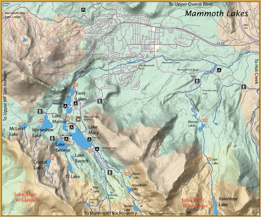
Mammoth Lakes
Sherwin Creek
Duck Pass
Crystal Lake
Rainbow Falls
Agnew Meadows
Shadow Lake Location: Shadow Lake Location
Trailhead: Agnew Meadows Trailhead
Alltrails: Shadow Lake AllTrails Map
2.9 miles from the Trailhead, mostly a level trail with a 750 foot 8,800'
Shadow Creek Location: Shadow Creek Location
Trailhead: Agnew Meadows Trailhead
AllTrails: [Shadow Creek AllTrails Map]
Fish between Shadow Lake and Ediza Lake, there is about 2.5 miles of freestone stream between the two lakes
he stream consists of pools and runs with some small waterfalls and a slow section through meadows
Cabin Lake Location: Cabin Lake Location
Trailhead: Agnew Meadows Trailhead
Alltrails: Cabin Lake AllTrails Map
About 1.5 miles past Shadow Lake follow the outlet creek of Cabin Lake off-trail about .5 miles with a 500 foot gain at 9,520'
Contains Goldens at the second stream crossing
Ediza Lake Location: Ediza Lake Location
Trailhead: Agnew Meadows Trailhead
Alltrails: Ediza Lake AllTrails Map
5.5 miles from the Trailhead at 9,300'
Iceberg Lake Location: Iceberg Lake Location
Trailhead: Agnew Meadows Trailhead
Alltrails: Iceberg Lake AllTrails Map
6.4 miles from the Trailhead at 9,800'
Laura Lake Location: Laura Lake Location
Trailhead: Agnew Meadows Trailhead
Alltrails: Laura Lake AllTrails Map
9,600'
Following the southwestern shoreline of Altha, go another .5 miles off-trail to Laura following the contours southeast
Altha Lake Location: Altha Lake Location
Trailhead: Agnew Meadows Trailhead
Alltrails: Altha Lake AllTrails Map
5.2 miles from the Trailhead. 9,680'
About .2 miles from Garnet Lake , the trail forks to the south ending at Altha Lake
Garnet Lake Location: Garnet Lake Location
Trailhead: Agnew Meadows Trailhead
Alltrails: Garnet Lake AllTrails Map
5 miles from the Trailhead with a 1700 foot gain at 9,840'
Ruby Lake Location: Ruby Lake Location
Trailhead: Agnew Meadows Trailhead
Alltrails: Ruby Lake AllTrails Map
At 10,000'
Fish usually be in the deeper portions of the drop-offs
Emerald Lake Location: Emerald Lake Location
Trailhead: Agnew Meadows Trailhead
Alltrails: Emerald Lake AllTrails Map
At 9,980'
The lake is fairly shallow but contains a fair number of rainbows in the 9-10 inch class
Best bet is early morning and late evening
Rosalie Lake Location: Rosalie Lake Location
Trailhead: Agnew Meadows Trailhead
Alltrails: Rosalie Lake AllTrails Map
About 4.3 miles from the trailhead at 9,320'
Going around the southern shoreline of Shadow Lake, follow the John Muir Trail down some switchbacks to Rosalie Lake
Gladys Lake Location: Gladys Lake Location
Trailhead: Agnew Meadows Trailhead
Alltrails: Gladys Lake AllTrails Map
Elevation: 9,160'
About .5 miles past Rosalie going south on the John Muir Trail
Lois Lake Location: Lois Lake Location
Trailhead: Agnew Meadows Trailhead
Alltrails: Lois Lake AllTrails Map
Go around the southeastern side of Rosalie Lake, follow the inlet creek off-trail up to Lois Lake About 1 mile off-trail from Rosalie with a 670 foot gain at 10,050'
Emily Lake Location: Emily Lake Location
Trailhead: Agnew Meadows Trailhead
Alltrails: Emily Lake AllTrails Map
Follow the contours to the east from Lois Lake and drop down about 150 feet to reach Emily Lake
.5 miles from Lois Lake at 9,900'
Trinity Lakes Location: Trinity Lakes Location
Trailhead: Agnew Meadows Trailhead
Alltrails: Trinity Lakes AllTrails Map
Seven scattered lakes about 6 miles from the trailhead going south on the John Muir Trail
Lakes are off-trail a short distance. you can also reach these lakes from Red’s Meadow, going north of the John Muir Trail about 4.5 miles
Either direction is a 1800 feet gain
Red's Meadow
Minaret Creek Location: Minaret Creek Location
Trailhead: Red’s Meadow Trailhead
Alltrails: Minaret Creek AllTrails Map
At 9,800'
Can be fished above the Falls for about 4 miles up to Minaret Lake
Minaret Lake Location: Minaret Lake Location
Trailhead: Red’s Meadow Trailhead
Alltrails: Minaret Lake AllTrails Map
5.6 miles from the Trailhead with a 2250 feet gain at 9,800'
Cecile Lake Location: Cecile Lake Location
Trailhead: Red’s Meadow Trailhead
Alltrails: Cecile Lake AllTrails Map
Same map but continue past Minaret Lake
Reached from Agnew Meadows Trailhead about 7 miles along Shadow Creek at 10,300'
Deadhorse Lake Location: Deadhorse Lake Location
Trailhead: Red’s Meadow Trailhead
Alltrails: Deadhorse Lake AllTrails Map
Not exact map, must go off trail
5 miles from the trailhead, go off-trail westerly about .8 miles along the outlet creek to Deadhorse Lake at 10,000'
Holcomb Lake Location: Holcomb Lake Location
Trailhead: Red’s Meadow Trailhead
Alltrails: Holcomb Lake AllTrails Map
Not exact map, take the fork
6 miles from the trailhead at 9,480'
Get off the John Muir Trail just above Minaret Falls and follow the trail west up a number of switchbacks
At 5 miles from the trailhead, the trail will fork to the north to Beck Lakes, follow the western fork to Holcomb Lake
Beck Lakes Location: Beck Lakes Location
Trailhead: Red’s Meadow Trailhead
Alltrails: Beck Lakes AllTrails Map
2 lakes at 9,760' and 9,800'
6.3 miles from the trailhead with an elevation gain of 2200 feet
First take the John Muir Trail northwards to above Minaret Falls. The trail will fork to the west towards King Creek
The trail follows King Creek at the 4.75 mile mark along the trail up to the lakes
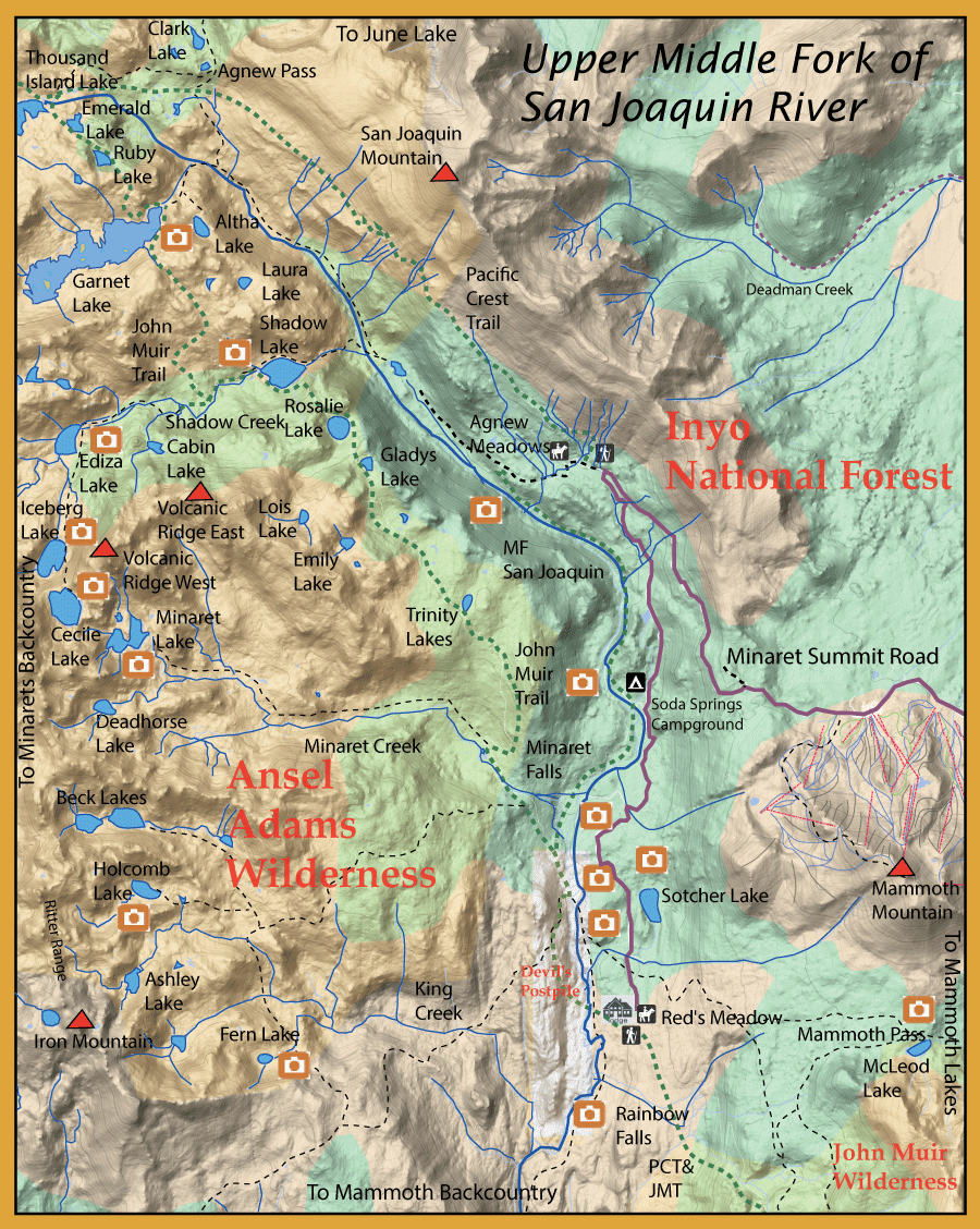
Upper Middle Fork San Joaquin River
Upper Middle Fork San Joaquin River Maps Upper Middle Fork San Joaquin River Map Upper Section Location: Upper Section Location
From Agnew Meadows to Upper Soda Springs Campground
This section is also within a dense forest with areas of swamps and high rock cliffs, so it takes some time to fish this section. Most of this water is good for dry flies, switching to nymphs for the deeper pools or early in the season when flows are up. There are two bridges that cross the river, one from below Agnew Meadows and the other at Upper Soda Springs Campground.
Middle Section Location: Middle Section Location
from Upper Soda Springs to Minaret Falls
Fishing just above Upper Soda Springs will give you the best chance at a Grand Slam from one location
A dry fly with nymph dropper is the preferred method through this section
Lower Section Location: Lower Section Location
From Minaret Falls to Rainbow Falls
Mostly a nymphing areas selecting spots behind rocks but becomes a very good dry fly section in the late summer, early fall.
Rainbow Falls Location: Rainbow Falls Location
Below Rainbow Falls is a small section of water containing small falls and pools with rainbows in the 10-12 inch class
Sotcher Lake Location: Sotcher Lake Location
Trailhead: Red's Meadow Trailhead
AllTrails Map: Sotcher Lake AllTrail Map
Lake is accessible just north of Red's Meadow
A deep nymphing set-up with midges, damsel and callibaetis patterns are productive in the early morning and evening hours and fishing from a float tube or kayak will be most effective in order to target deeper water
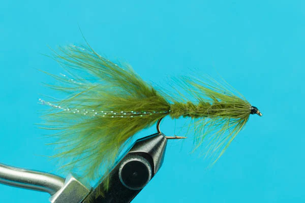
Streamers and wooly buggers can be successful with active fish.
Starkweather Lake Location: Starkeweather Lake Location
Trailhead: Minaret Vista Trailhead
AllTrails: Starkweather Lake AllTrails Map
Upper Middle Fork San Joaquin River Tips
Hatch
The Upper MF San Joaquin contains numerous hatches
In June through early July, Midges will start and hatch all season
Golden Stones will show up and a PMD hatch comes off in the early evening hours
Caddis will show up in the late afternoon during much of the Summer
BWO’s emerge in the Spring through July when the air temperature warms but tend to be more prolific in October
During late September and through October, the October Caddis appears as well as the Grannom Caddis
Trico’s will show up near late October
Campgrounds/Spots
Campgrounds get lots of pressure but not hiking a bit
Shuttle from Mammoth Mountain Main lodge is a good way to fish the river
The section near Devil's Postpile fishes well
Hike above Soda Springs Campground
Look for deep pools with shade protection from rocks
Panorama Campground fishes well so does near the pack station
Park at the parking lot, and head down the trail. Make your first right and walk to the river - Reds Meadow pack station=
Starkweather or Sotcher lakes
Flies
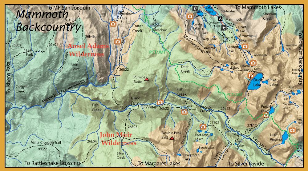
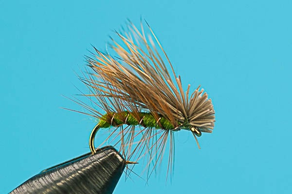
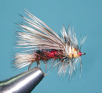
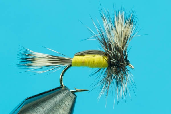
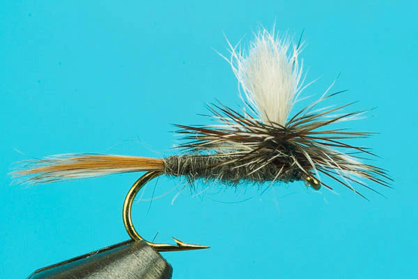
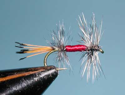
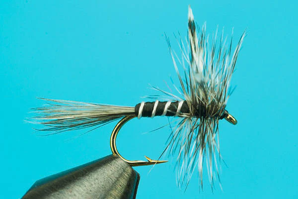
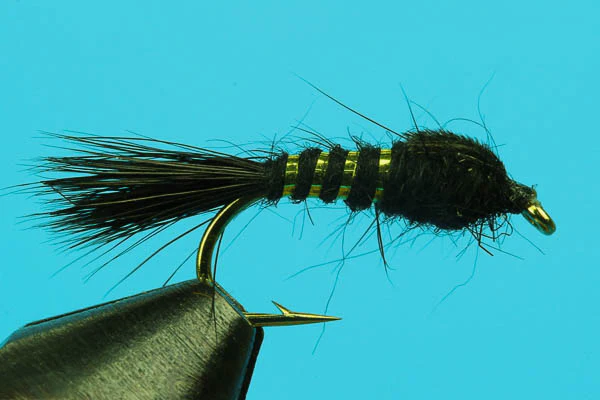
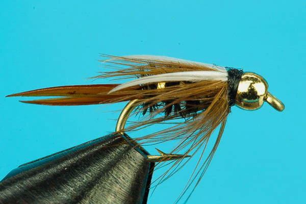
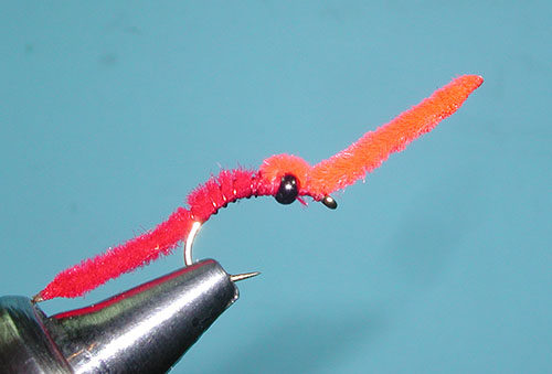
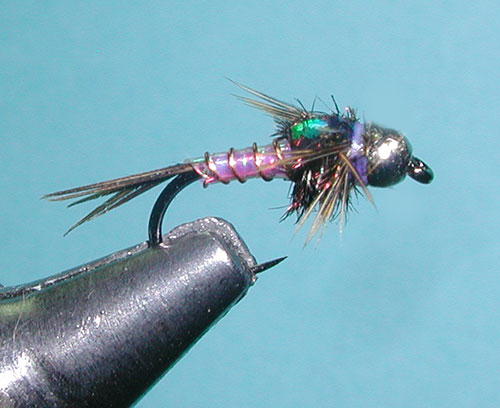
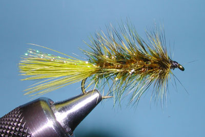
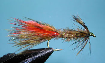
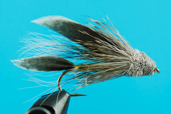
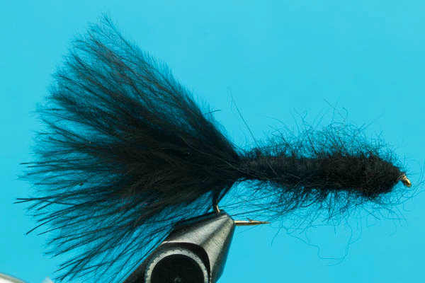
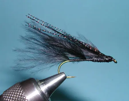
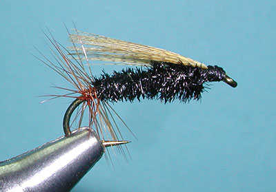
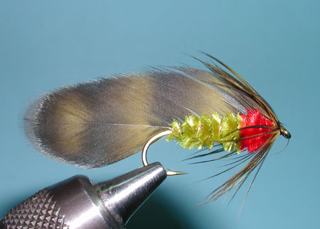
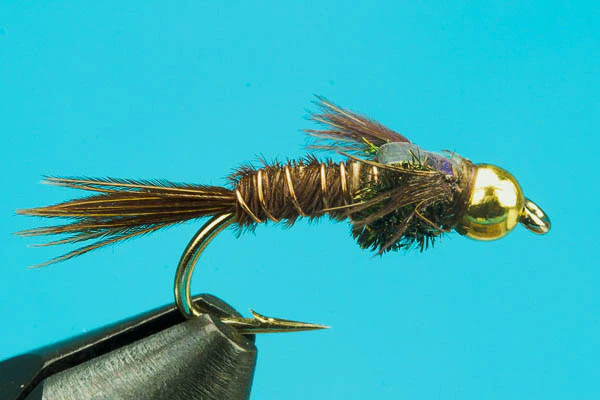
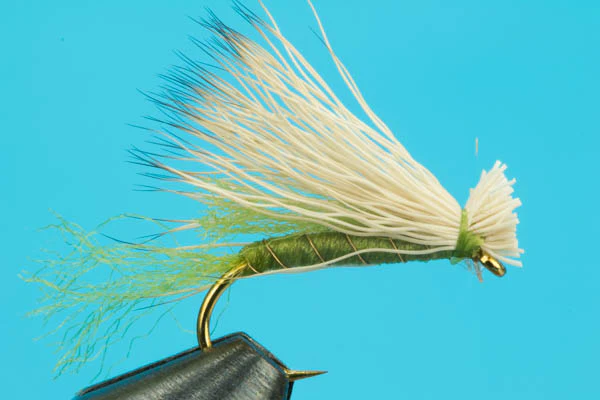
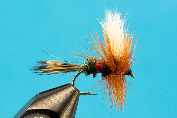
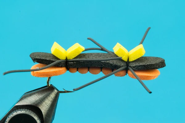
Mammoth Lakes Flies
Mammoth Backcountry Flies
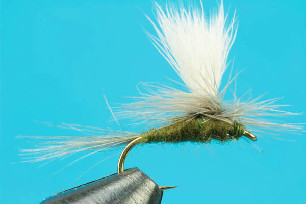
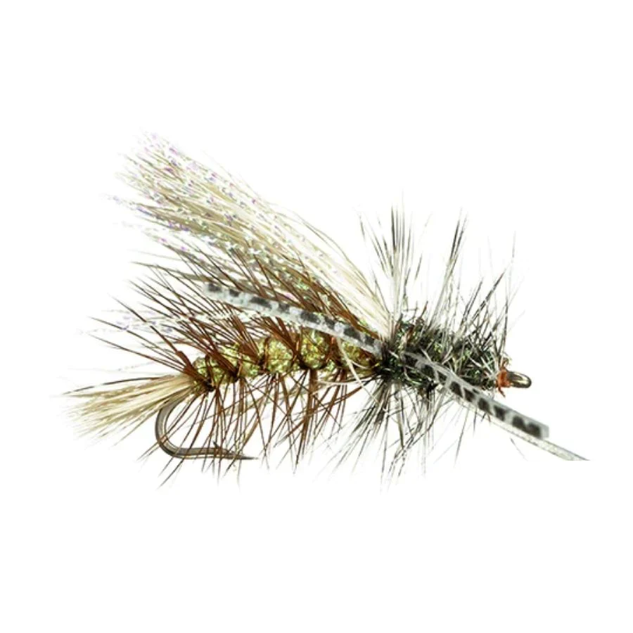
Upper Middle Fork San Joaquin River Flies
Resources